NSW Floods Impact: 4WD Tracks, Campsites and Trails Closed Across the State
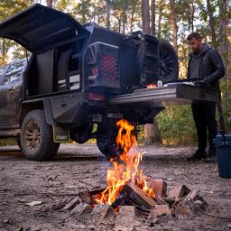
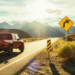
Heavy rain and flooding have hit New South Wales hard, leading to widespread closures of popular 4WD tracks, walking trails and campgrounds. For our fellow adventurers who love to explore off the beaten path, it’s important to stay informed and plan ahead to ensure your trips remain safe and enjoyable.
Key Takeaways
- Widespread Closures: Heavy rainfall has caused damage and landslips across many regions, shutting down key tracks and campsites.
- Stay Safe: Avoid driving or walking through floodwaters—conditions can change rapidly.
- Check Alerts: Stay updated via official alerts before heading out.
Mid-North Coast Closures
In the Mid-North Coast, the Orara Escarpment 4WD Touring Route is currently closed due to flooding at the Urumbilum River. High water levels have made the Bindarray Picnic Area inaccessible, but authorities are closely monitoring the situation.
Hunter and Southern Highlands Closures
Further south, heavy rain has caused closures in Morton and Budawang national parks. Flooded roads in the Clyde and Yadboro river systems have made several tracks and campgrounds unreachable for now.
Barrington Tops National Park
Barrington Tops National Park has been fully closed since 20 May. Landslips and a damaged bridge have cut off access via Gloucester, and storm damage has also affected the southern section of the park.
Northern Tablelands Closures
In the Northern Tablelands, parts of Oxley Wild Rivers National Park—including Wollomombi walking track, Eagle View lookout, and Chandler Falls lookout—are closed until at least 28 May. The Wollomombi picnic area and Chandler walk remain open.
Manning Great Lakes Region
Tapin Tops National Park and nearby reserves are also closed. Flooding has made trails and creek crossings unsafe, with closures expected until at least 30 May.
Watagans National Park
In the Hunter region, several key visitor areas in Watagans National Park are shut, including Gap Creek Falls walking track, Gap Creek Forest walking track, Boarding House Dam, and Bangalow picnic and camping areas.
Abercrombie Karst Conservation Reserve
This reserve remains closed for repairs after earlier flooding, with no reopening expected until late September.
Stay Safe and Informed
National Parks staff continue to assess conditions daily. At MRT, we’re all about exploring Australia’s rugged terrain responsibly—so please check alerts before you travel, avoid entering closed areas, and never drive or walk through floodwaters.
For the latest alerts, visit NSW National Parks Alerts List.


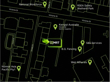
 VIEW ON GOOGLE MAPS
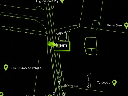
 1300 650 090